Boundary Surveys
Research, retracement, monument recovery, field measurement, and professional documentation.
Learn about Boundary Surveys
Headquartered in Southern Indiana • Serving Indiana & Kentucky
KWS combines practical construction experience, professional judgment, and advanced field technology to deliver accurate information clients can build on with confidence.
Built on experience. Guided by integrity.
KWS Surveying Specialists serves homeowners, contractors, engineers, developers, utilities, municipalities, and water-resource professionals across Indiana and Kentucky.
Our roots are in excavation, farming, construction, and the land itself. That practical background shapes how we approach every assignment: carefully, honestly, and with a clear understanding of how the finished survey will be used.
Read the KWS story →Capabilities
From a single property line to complex site development, aerial mapping, and underwater terrain, KWS brings the right tools and judgment to the field.
Research, retracement, monument recovery, field measurement, and professional documentation.
Learn about Boundary SurveysDetailed land title surveys for commercial real-estate and due-diligence needs.
Learn about ALTA/NSPS SurveysAccurate layout that translates plans into practical, buildable points in the field.
Learn about Construction StakingExisting-condition data for planning, engineering, drainage, grading, and design.
Learn about Topographic SurveysRTK aerial data for orthomosaics, progress imagery, mapping, and 3D products.
Learn about Drone MappingRemotely operated hydrographic data collection for lakes, ponds, and waterways.
Learn about Bathymetric SurveysTechnology with purpose
Modern instruments help us collect precise information efficiently. Professional judgment turns that information into dependable survey deliverables.
Industries we serve
KWS works with private owners and professional project teams, from early due diligence through construction and final documentation.
Boundaries, elevation certificates, site questions, and property decisions.
Construction layout, machine control support, as-builts, and quantities.
Topographic, utility, route, hydrographic, and geospatial base data.
ALTA/NSPS surveys, due diligence, subdivisions, design support, and staking.
Route surveys, existing conditions, mapping, staking, and record documentation.
Corner perpetuation, mapping, site work, and professional survey support.
Subdivision design and platting, topography, construction staking, and as-builts.
Bathymetric, hydrographic, volume, and 3D surface deliverables.
“To faithfully serve people and land with integrity, excellence, and respect, bringing honor to the profession of land surveying.”KWS vision
Fieldwork to finished deliverables
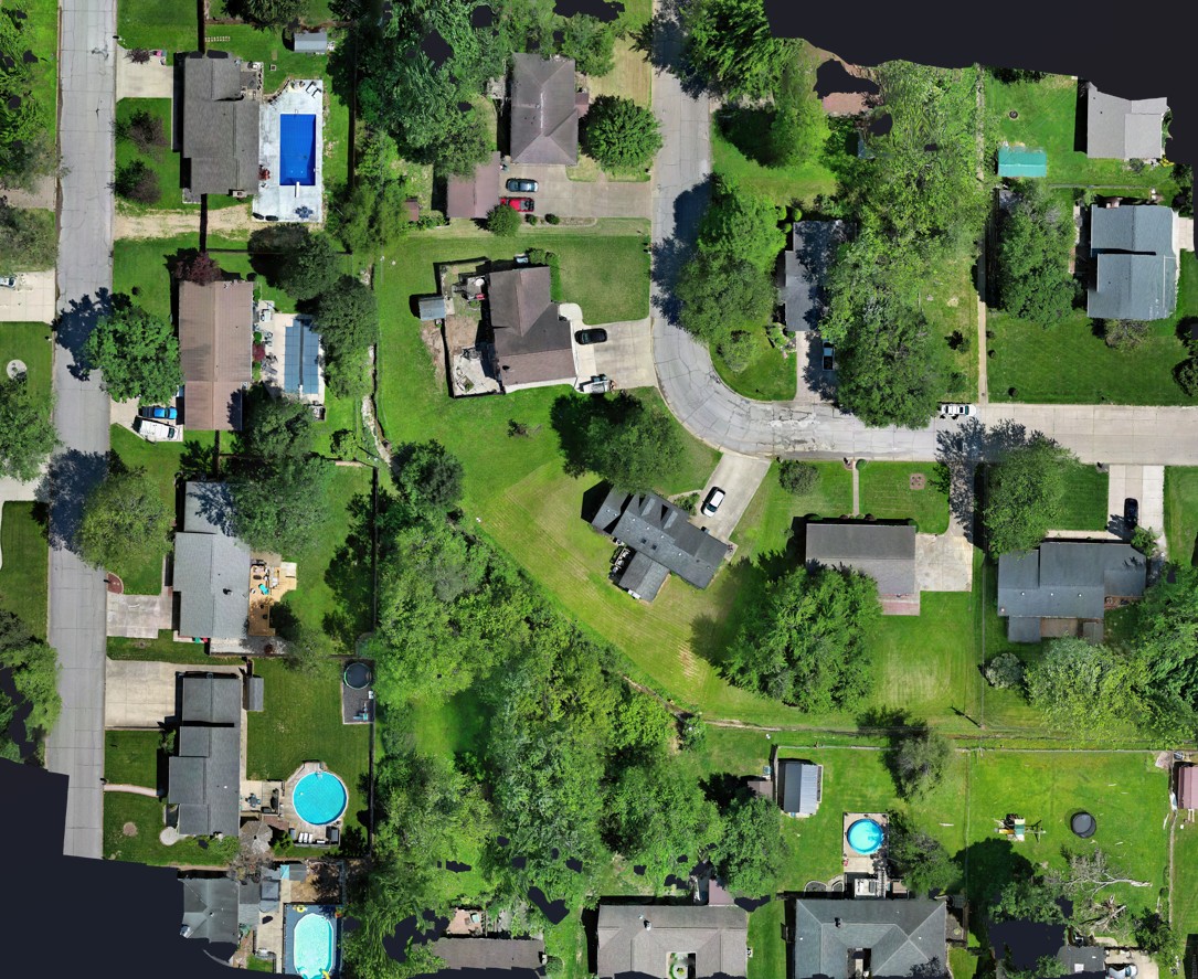
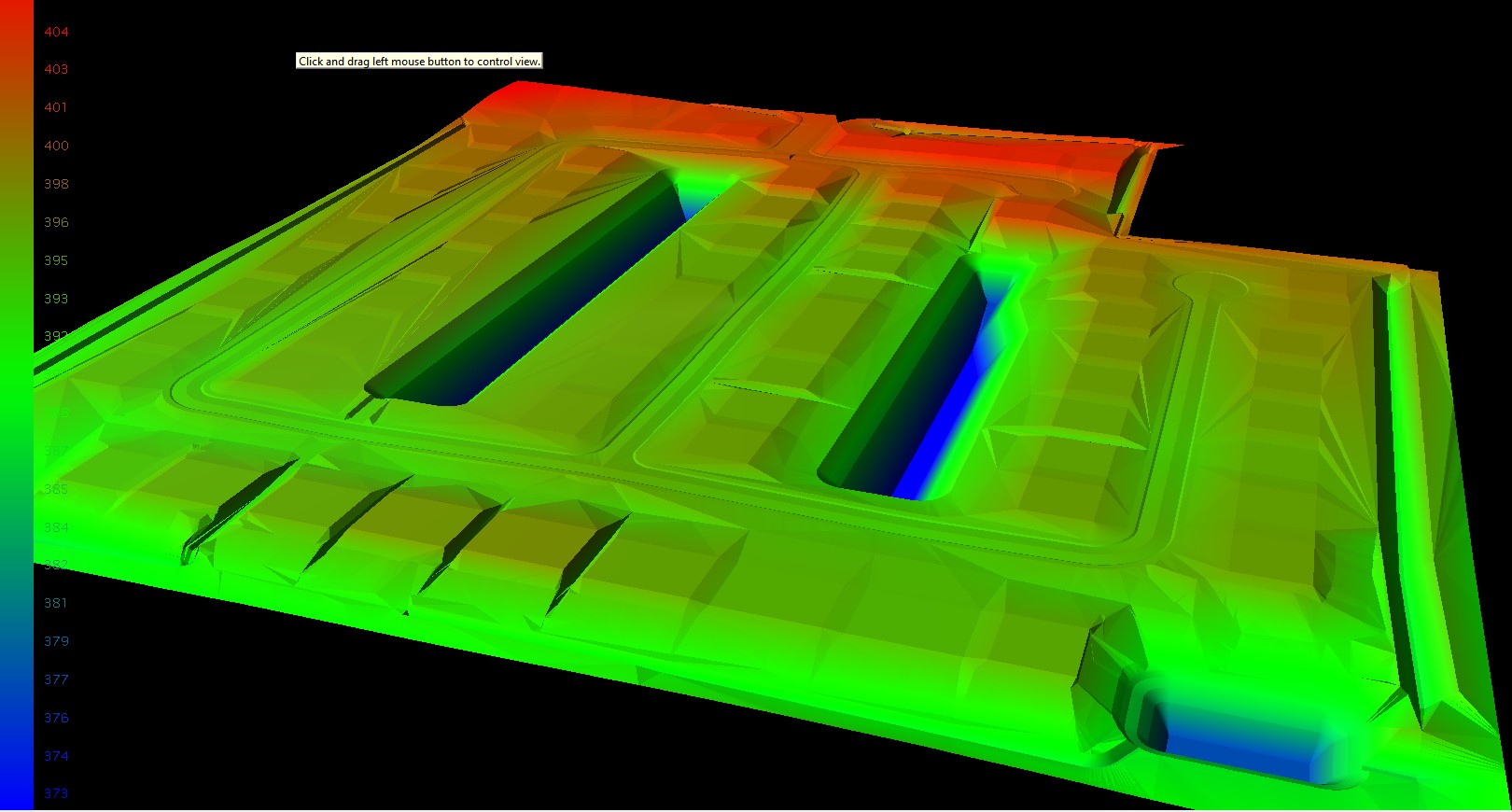
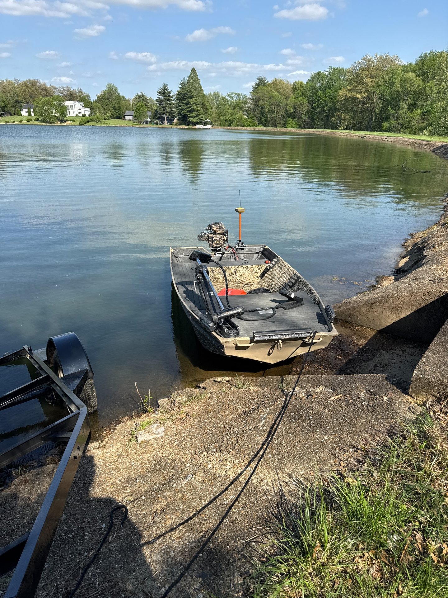
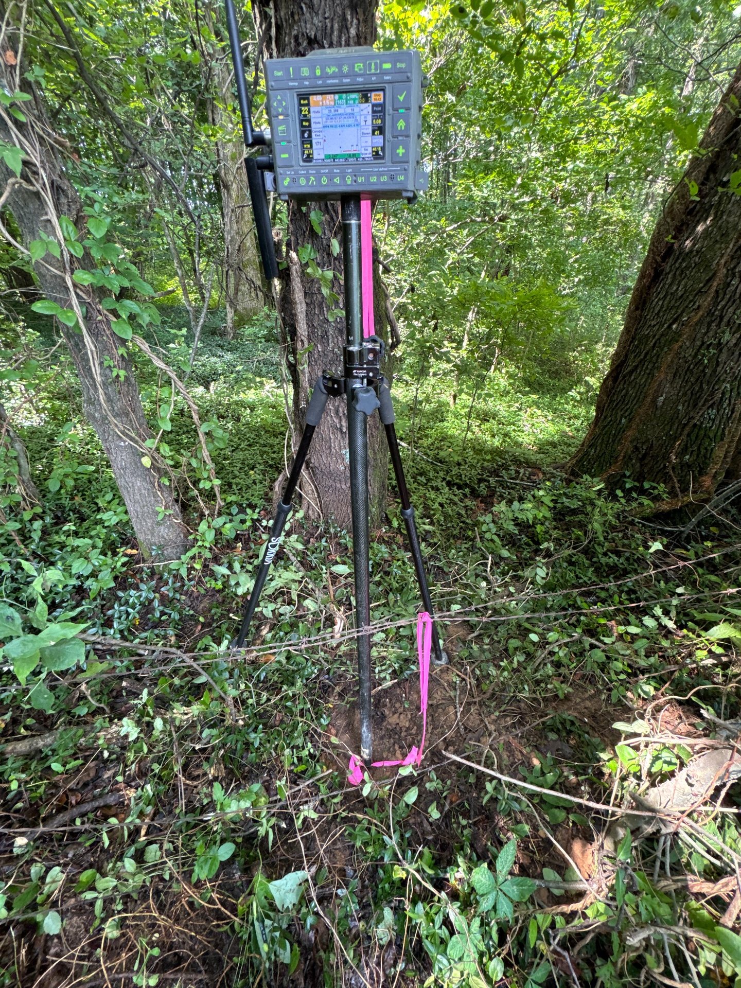
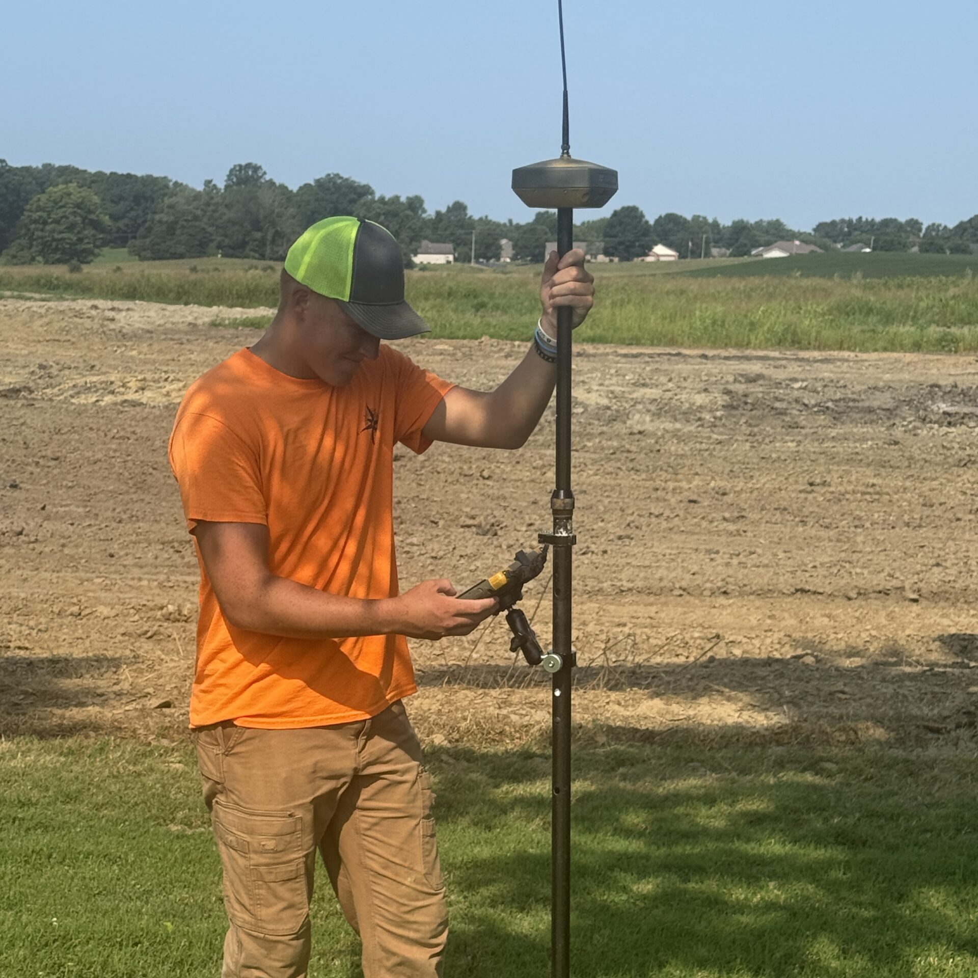
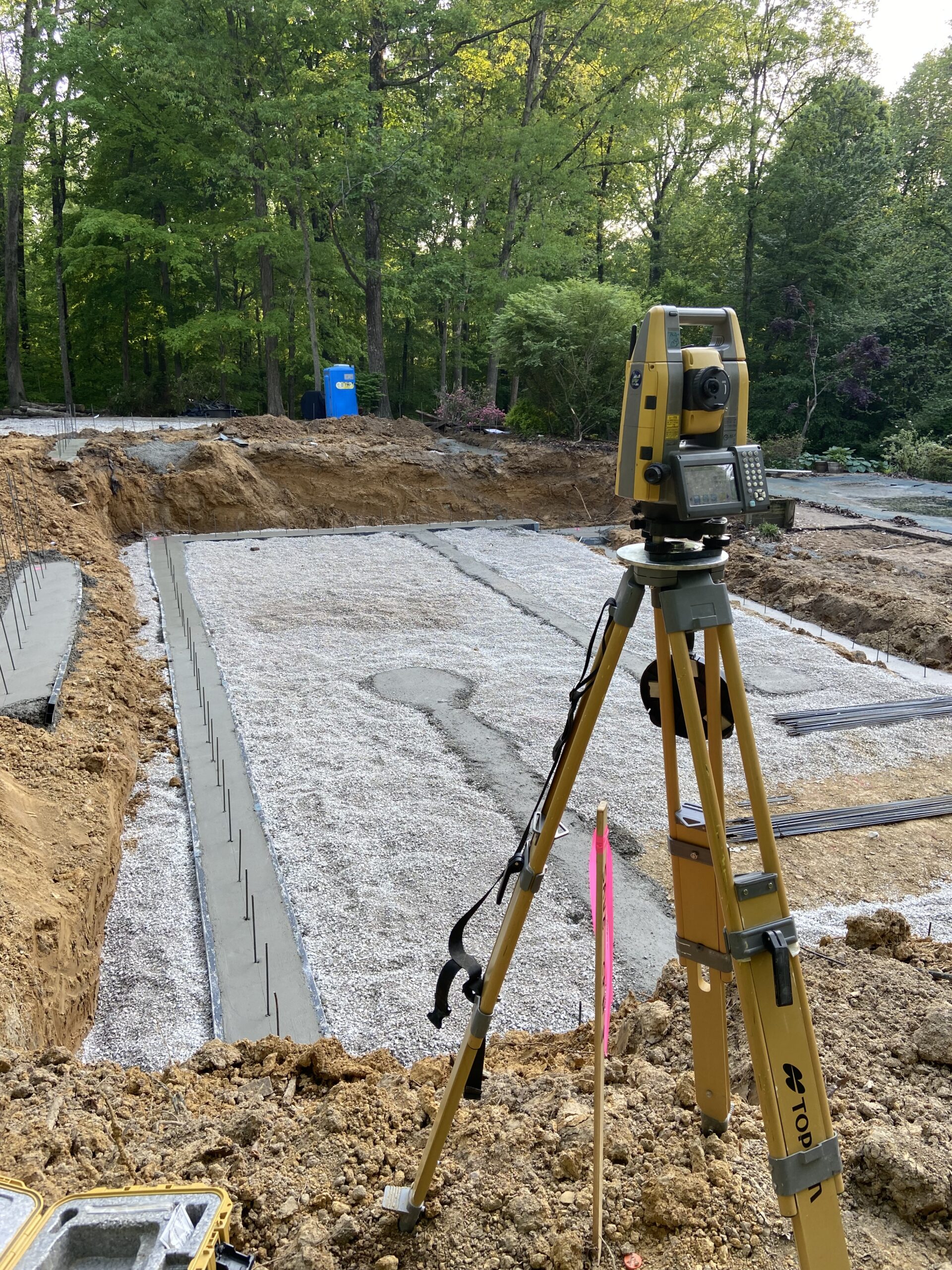
Authentic KWS field images alongside the aerial maps and 3D surfaces clients use for planning, design, construction, and quantities.
Start a conversation
Share the location, service needed, and timing. We will review the details and follow up to discuss scope and next steps.