
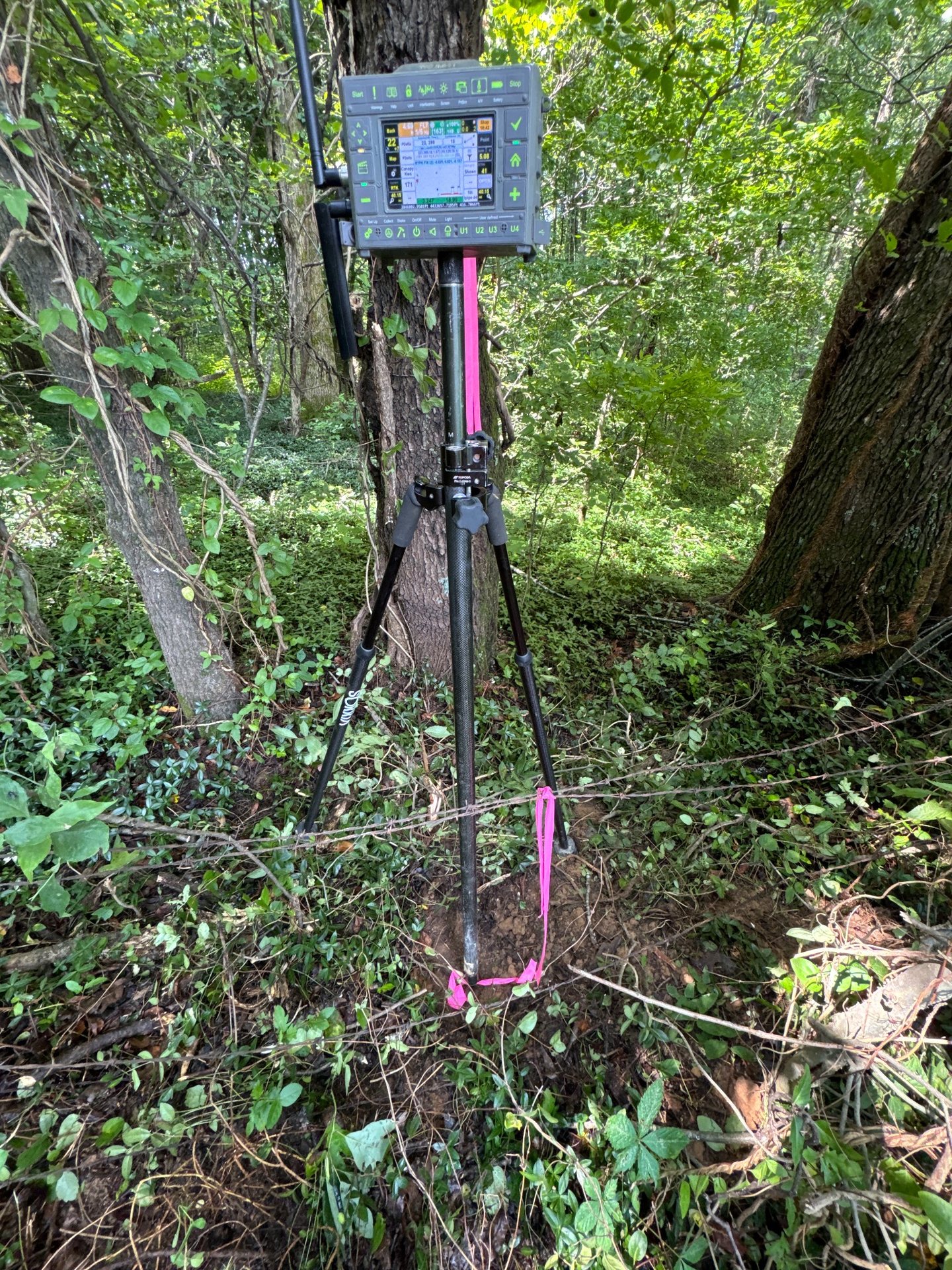
The images below show authentic KWS field work, equipment, terrain, and specialized capabilities. As project descriptions and permissions are added, this page can grow into a library of detailed case studies.

From field observations to usable deliverables
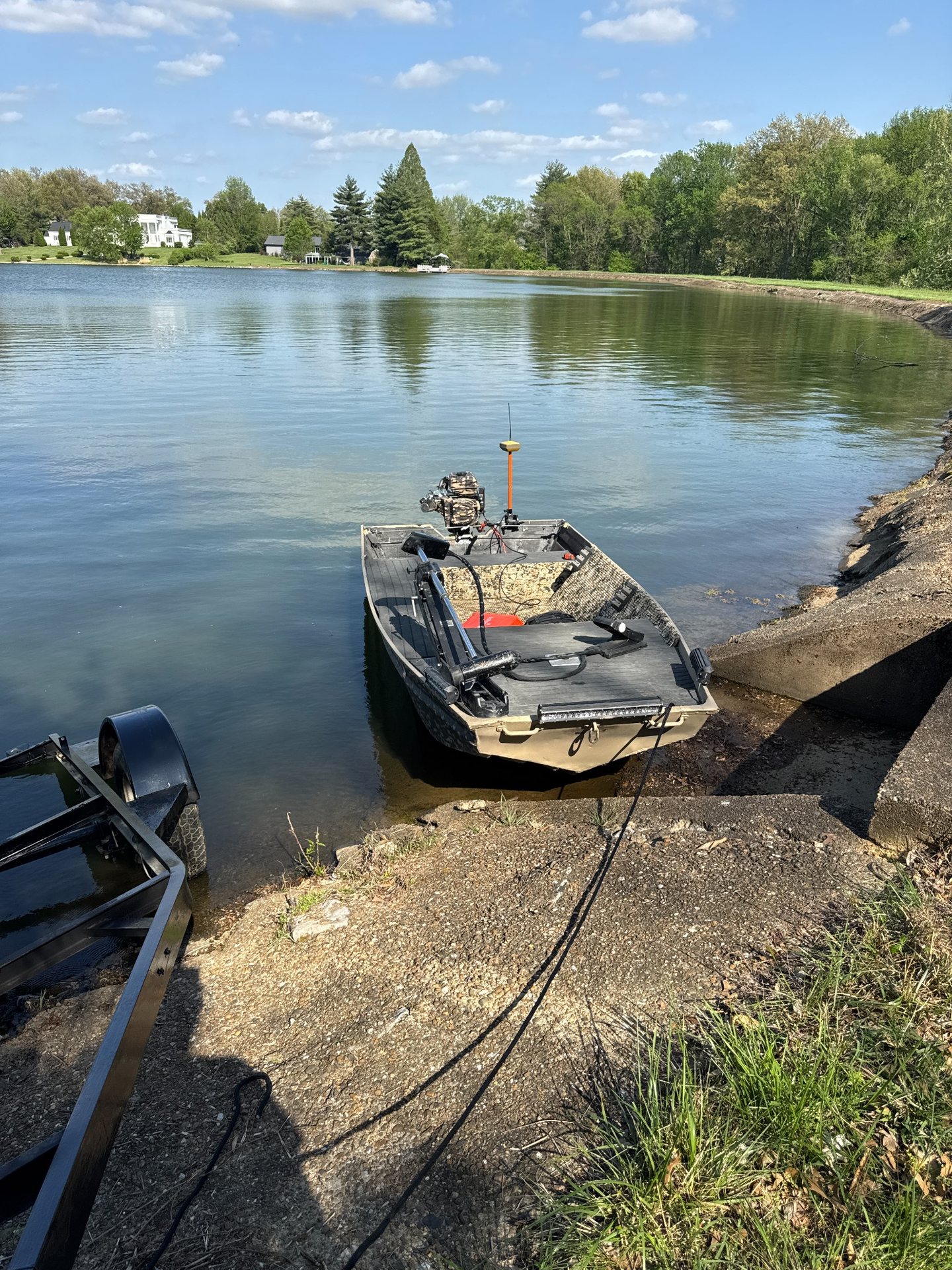
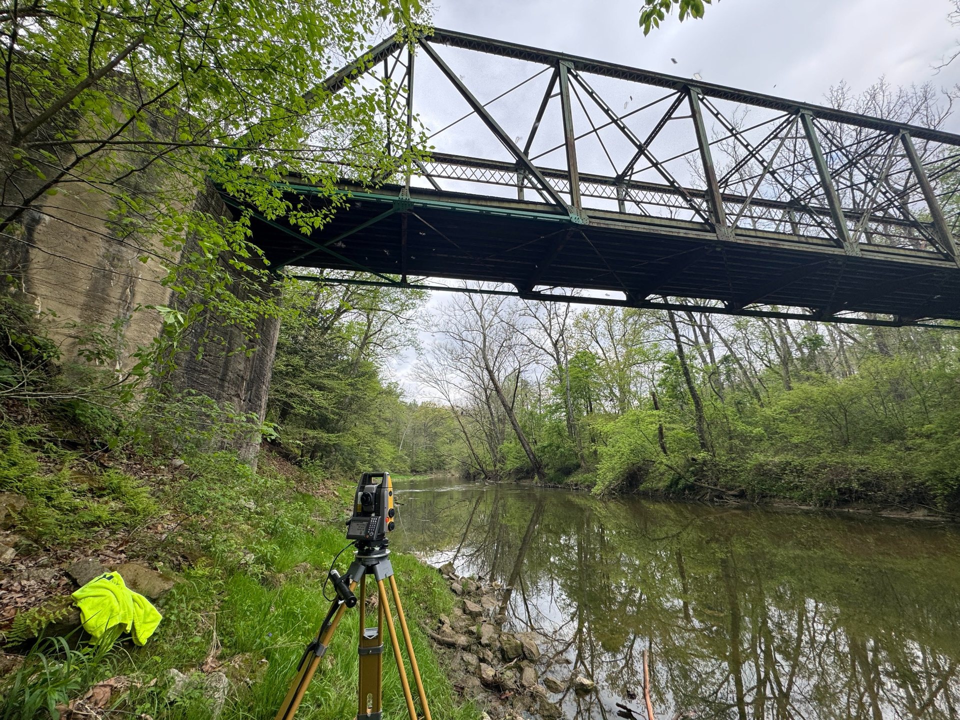
KWS combines conventional survey measurements, GNSS, robotic instruments, aerial imagery, and specialized hydrographic equipment to produce maps, models, quantities, and construction information tailored to each project.
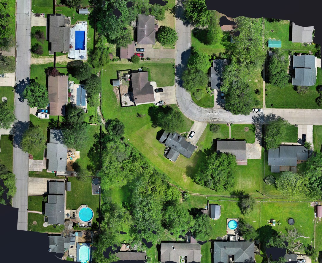
Drone orthomosaics
High-resolution, georeferenced aerial imagery for existing-condition mapping, site documentation, planning, and project coordination.
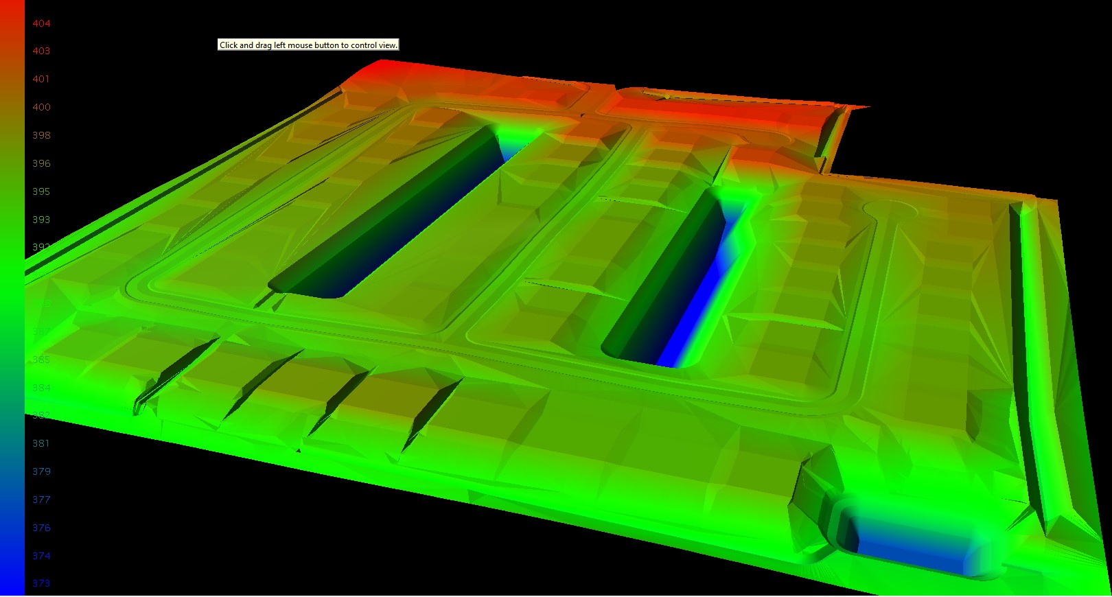
3D surface models
Terrain and design surfaces for visualization, grading, machine control, cut-and-fill analysis, and volume calculations.
Featured project details to add
For future case studies, KWS can publish the project type, general location, challenge, scope, equipment, deliverables, and approved images without identifying confidential clients.