KWS invests in equipment that improves field efficiency, access, data quality, and the usefulness of final deliverables. Technology supports our work, while professional judgment remains at the center of every survey.
Robotic total stations
Topcon GT-505 and GT-1503
These robotic instruments support high-precision measurement and layout for boundary, topographic, construction, as-built, and development work. Robotic operation allows efficient one-person measurement while maintaining visual and procedural field checks.
GNSS positioning
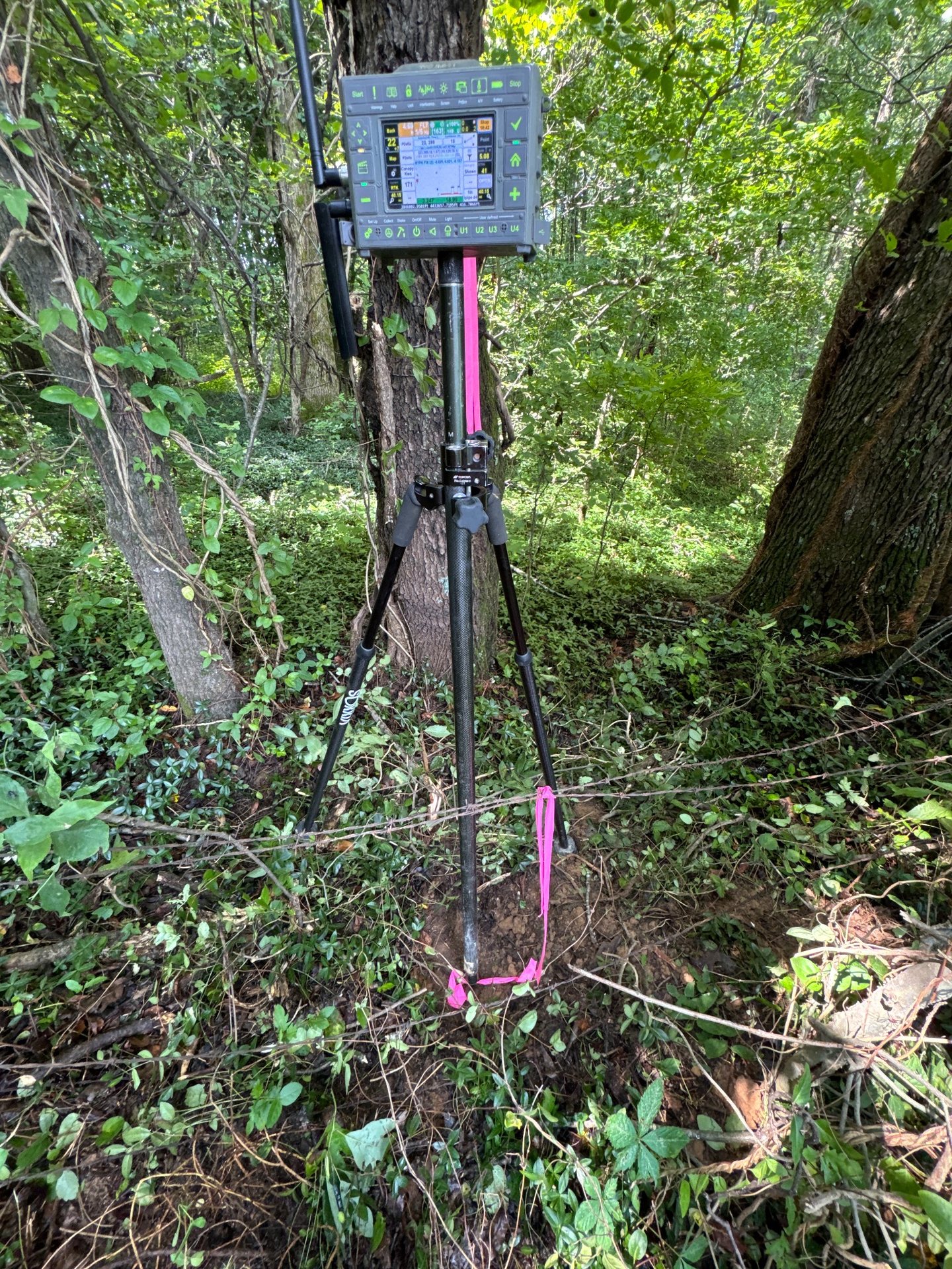
Topcon HiPer VR with MAGNET Field
The HiPer VR system supports precise field positioning, data collection, control, and stakeout workflows using MAGNET Field software.
Javad Triumph LS
The Triumph LS adds another capable GNSS platform for field positioning, verification, and work in demanding environments.
RTK aerial mapping
Autel EVO II RTK Drone
The RTK-equipped aerial platform supports high-resolution imagery, orthomosaic mapping, 3D modeling, progress documentation, and volume analysis where aerial collection is appropriate.
Hydrographic surveying
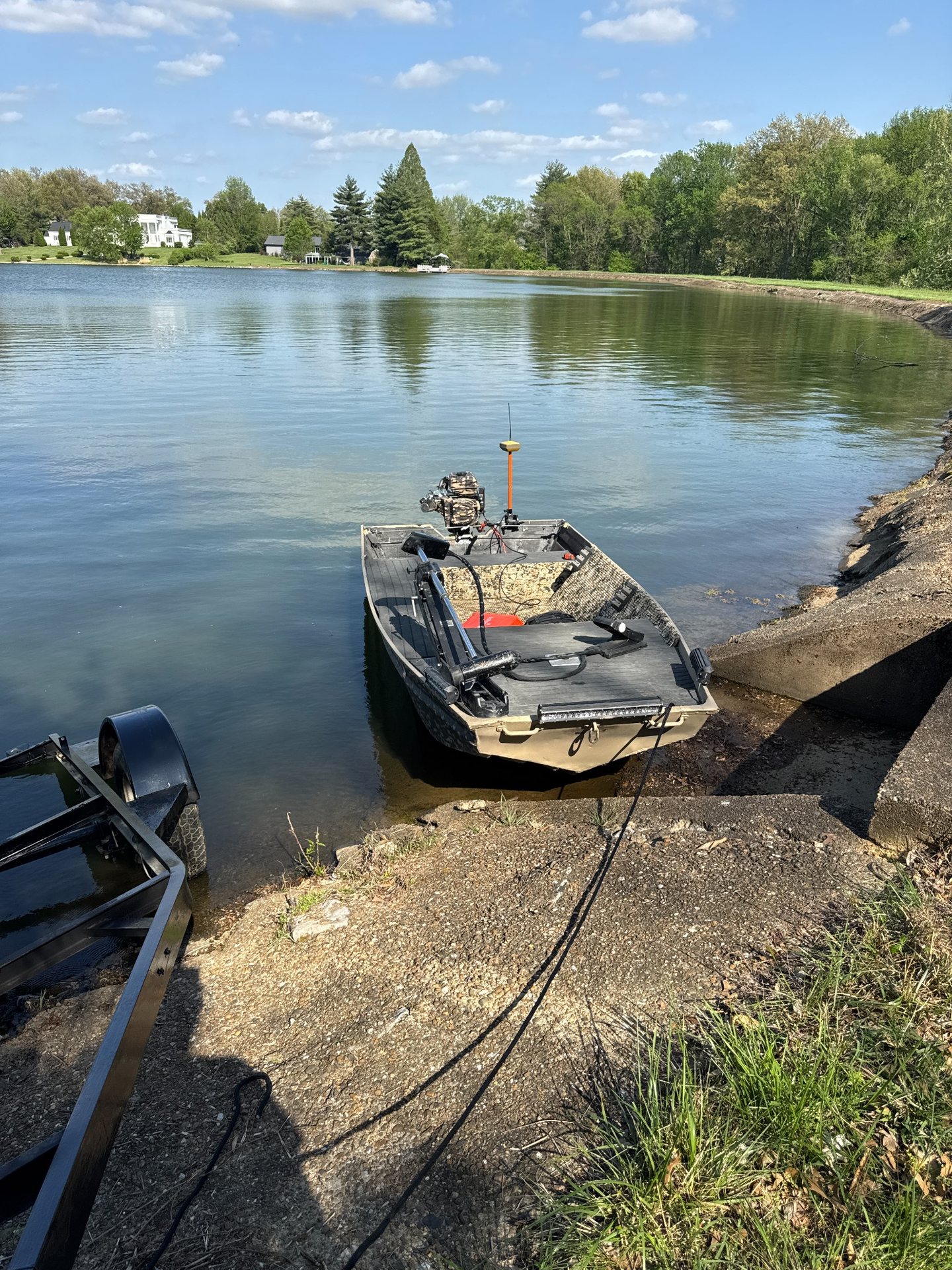
BathyCat USV Survey Catamaran
The remotely operated BathyCat platform collects bathymetric data on suitable water bodies while reducing the need to place personnel aboard a conventional survey boat.